

- cross-posted to:
- technology@lemmy.ml
- cross-posted to:
- technology@lemmy.ml
cross-posted from: https://lemm.ee/post/30835184
You must log in or register to comment.
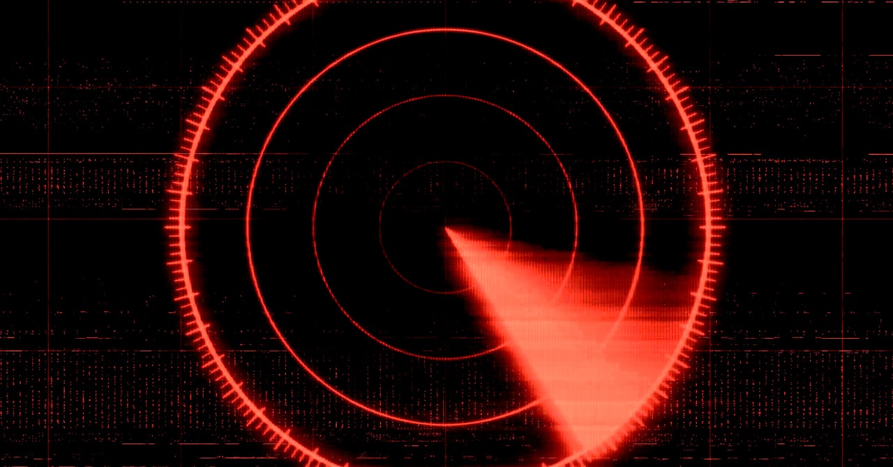
It might be possible for e.g. airliners to use military GPS with anti-spoofing (encrypted GPS signal which is harder to spoof or jam, but which needs special receivers that have to be rekeyed regularly). Obvs that would require some bureaucratic cooperation between the air carriers and the military. Also, at least near airports, ground beacons can be used the same way.
Obviously the stuff with maps and triangulation, or celestial navigation can be done by computer now, instead of by some crewmember with a calculator. But GPS is sure a lot simpler to use.
Spoofing GPS, GLONASS, Galileo, and the Chinese system (I forget what it’s called) all at the same time might be much more difficult than spoofing just one.
The Chinese one is Beidou and I fail to understand why planes use only GPS when my phone has all 4.
Planes only use GPS because GPS has a very rigorous signal integrity program that others don’t have. The “safety of life” requirements on GPS are onerous. Also, GPS has both L1 C/A and L5 (not enough L1C or L2C to be useful yet) signals. I don’t think Galileo or GLONASS have extra signals, but I think Beidou does (not an expert on other systems).
Just this January, ESA completed the safety of life analysis requirements for Galileo to be used as a civil aviation signal.
This sounds legitimately annoying… But why is this canceling flights? Do the pilots not carry maps? Plus, they’re in the air, can’t they rely on radar guidance? They may have radar on the aircraft, but there’s definitely ground based radar as well.
Pilots are very well trained, they should be able to handle this… What did pilots do in 1970, before gps existed?
Not an expert, but given the high numbers of planes simultaneously in the air, it’s critical to know high precision position data and not estimated numbers based on maps and manual triangulation with a calculator. That might have been viable decades ago, but the tightly scheduled flights nowadays operate with minimal intervals between the flights. Even if pilots still master the old craft of navigation, it is simply not practical in an overcrowded sky, where minimization of risks is paramount.