
For example on wikipedia for Switzerland it says the country has an area of 41,285 km². Does this take into account that a lot of that area is actually angled at a steep inclination, thus the actual surface area is in effect larger than what you would expect when looking onto a map in satellite view?
I can’t remember if it was Matt Parker or Tom Scott who did a thing about this on youtube, and I think the answer was no, they just use whatever method is easiest to get these numbers, and they’re not even using a consistent methodology from one country to the next.
It was by Matt Parker. Here it is: https://youtu.be/PtKhbbcc1Rc
or watch it on piped.video if you prefer: https://piped.video/PtKhbbcc1Rc
It’s not, but I love the idea that it could be. You just know some of those megalomaniac dictators would be piling up fake Hills to make their country bigger. Turkmenistan would have giant Towers of dirt everywhere.
Due to the fractal nature of geometery, all they would have to do is use more fine-grained measurements. :)
That would work for the perimeter, but not for the area.
Do you think the holes left by digging the dirt would also count as increased area? Because it feels like it’d be a 2 for one deal
Inclination must be ignored for area to work on a map, plus the inclination ends up being lost in the noise on a large scale. It is very similar to the coastline issue where the more detail you include the longer the coastline gets until every coastline is basically infinite.
Let’s take an area split into a grid. One are has a hilly round slope, one is flat, and the rest are a variety of combinations. If you tried to take slope into account the one with the round hill would require the straight lines of the grid to warp towards it like one of those space time curvature pictures. The one that is flat is the only one that could be square, and even then it only works if you count it as flat since even flat ground has a small texture.
So no, they don’t take elevation into account for maps because it would be far too difficult to measure.
The surface area can only be calculated with a defined level of accuracy due to how textured surfaces work.
This is the same problem as with coastline length - the higher resolution you’ll use, the bigger the number you’ll get. AFAIK this is solved by just standarization of calculation methods - there’s just certain rounding to be applied in all cases so you get a comparable results
There‘s a great video on that topic by Matt Parker (Standupmaths) which I‘d wholeheartedly recommend.
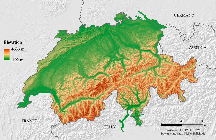
TLDW: No, terrain elevation isn‘t generally taken into account when calculating a country‘s surface area, though the actual method differs slightly from country to country. Switzerland would be around 7% bigger, if its mountains were to be taken into account.
Doubt it. Because then it becomes a question at resolution, where too high results in countries with infinite area, since ever slope, ditch, and grain of sand has to be accounted for.
I don’t know the precise answer, but I do know this:
- Often the kind of measures that are about something vast and complex (like population for example) are really good approximations, not completely exact numbers. So maybe doesn’t matter because the number itself is not trying to be 100% accurate.
- As far as I know those measures are made from the top down view, like with airplanes or satellites, so no it would not include inclines. To include inclines in a precise way it would have to be measured each one on the spot, which is not the way that is done. There are almost no field surveyors these days, again, as far as I know. And to include inclines in an approximate way takes us to point 1 again so it wouldn’t matter much if there were a small difference.
- Why would we do that? Almost everything we use land for requires it to be horizontally flat, so we flatten it. For example, an irregular coastline doesn’t matter because we can use the crevices and irregularities to fit in more boats or ports or beaches, since the sea is horizontally flat and that is what really matter to us. But if there’s a hill with a greater area because of the steepness of it we cannot fit more houses or warehouses of streets. We have to flatten it first so we gain noting from it being inclined.
So form my point of view it would be almost as if we tried to include the sides of a ravine or gorge in the measure just because technically it is area space.
Sorry if I cannot give you an exact answer, but I wanted to comment because you raised an interesting point that made me think.
Cheers.
BTW are the walls of New York’s scyscrapers included in the calculation?
/s


